Surveying & Mapping
Drone surveying is significantly less expensive than traditional surveying. Not only will it save you money, it will save you time.
A survey can be flown in 45 minutes for a 100 hectare (250 acre) area, and aerial photos and 3D contour maps can be processed in 24 hours. Athabasca can produce poster sized images. Our lightweight and durable styrofoam drone can be safely flown over sites with minimal disruption to operations below. Weighing less than 2 pounds, it will automatically return home to a pre-selected safe landing zone if running low on battery power or encounters hazardous weather conditions. Our drone can fly in wind speeds up to 44 km/hr and has been tested in temperatures ranging from -15 C to 35 C.
Athabasca Minerals provides Drone surveying and mapping for a variety of industries.
- Agriculture and farming
- Construction and engineering
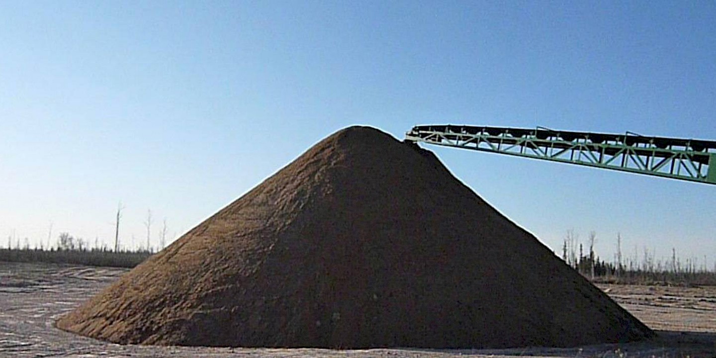
- Aggregate stockpiles and quarries
Our drone can provide various formats of output, based on your specific requirements, such as:
- JPEG
- .tiff
- Digital surface model (DSM)
- 3D point cloud
- Index map
- Orthomosaic raster
For further information on services and pricing, please contact:
Sherwin Pagaduan (Site Supervisor/Equipment Operator)
Tel: 780-370-8414
Email: moc.slarenimacsabahta@naudagap.niwrehs
Athabasca Minerals Drone Mapping Services Brochure
