News Releases
Athabasca Minerals Inc. announces National Instrument 43-101 Resource Calculations for Kearl and Logan Aggregate Deposits
Edmonton, Alberta February 21, 2012 - Athabasca Minerals Inc. (the "Corporation" or "Athabasca" - TSX Venture: ABM) is pleased to announce that it has received a technical report (the "Kearl Report") dated February 15, 2012 with respect to the Kearl property (the "Kearl Property") and a technical report (the "Logan Report") dated February 15, 2012 with respect to the Logan property (the "Logan Property"). Both the Kearl Property and the Logan Property contain aggregate deposits under development by the Corporation. A copy of the Kearl Report and the Logan Report will be available on SEDAR within 45 days.
Kearl Aggregate Deposit
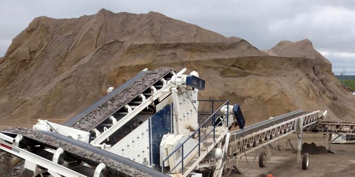
The 32.4 hectare (80 acre) Kearl Property lies 60 km east of the Corporation's Susan Lake aggregate operation with all weather roads linking the deposit to major oil sands operations. The sand and gravel deposit is a remnant fluvial meltwater channel, created thousands of years ago, by the receding Continental ice sheet. The deposit is overgrown with brush (timber previously logged off) and lies under a shallow layer of glacial till (averaging 0.6 m). To determine the quality and quantity of the resources throughout the property, the data from 40 test pits dug throughout the property has been used by the Qualified Person. Since the majority of the deposit exceeds the depth limit (6 m) of the track hoe, the full depth of the deposit has been determined by data from 23 drill holes augured in locations that give good coverage of the property. In addition, some drill test holes did not reach the full depth of the deposit, exceeding 33m in other drill holes; therefore the Qualified Person has used a conservative projection in determining both the quantities of the indicated and inferred aggregate resources. The quality of aggregate at the Kearl property has been determined to be suitable for road construction and maintenance. The Kearl Report has an effective date of February 15, 2012.
|
Indicated Mineral Resource
|
|||
|
|
Banked Volume
(cubic meters) |
Loose Volume
(cubic meters) |
Weight
(tonnes) |
|
Gravel
|
1,885,165
|
2,356,465
|
3,770,330
|
|
Sand
|
3,818,195
|
4,772,743
|
7,636,390
|
|
Inferred Mineral Resource
|
|||
|
|
Banked Volume
(cubic meters) |
Loose Volume
(cubic meters) |
Weight
(tonnes) |
|
Gravel
|
217,000
|
271,750
|
434,000
|
Logan Aggregate Deposit
The 32.4 hectare (80 acre) Logan Property lies approximately 160 km south of Fort McMurray, Alberta, is accessible via country road and lies near oil sands and infrastructure projects. The gravel deposit is a remnant fluvial meltwater channel created thousands of years ago by the receding Continental ice sheet. The deposit is overgrown with brush and low timber values (timber previously logged off) and lies under a shallow layer of glacial till (averaging 0.5 m). To determine the "indicated" quantity and quality of the resources, the data from 29 test pits dug throughout the property has been used by the Qualified Person. The depth limit (5 m) of a track hoe did not reach the deposit's lowest depth in a number of the test holes, therefore, to estimate the potential quantity (inferred), the data from an auger drill program has been conservatively employed by the Qualified Person. The quality of aggregate at the Logan Property has been determined to be suitable for road construction and maintenance. The Logan Report has an effective date of February 15, 2012.
|
Indicated Mineral Resource
|
|||
|
|
Banked Volume
(cubic meters) |
Loose Volume
(cubic meters) |
Weight
(tonnes) |
|
Gravel
|
678,450
|
848,100
|
1,357,000
|
|
Inferred Mineral Resource
|
|||
|
|
Banked Volume
(cubic meters) |
Loose Volume
(cubic meters) |
Weight
(tonnes) |
|
Gravel
|
331,300
|
414,000
|
662,600
|
Both technical reports were prepared by Mr. R. Don Peel, P. Geol, a qualified person for the purposes of National Instrument 43-101. The qualified person visited the Logan property in 2010 and the Kearl property in 2011. Mr. Peel reviewed and approved of the contents of this news release.
About Athabasca Minerals Inc.
Athabasca Minerals Inc. is a resource company involved in the management, exploration and development of aggregate projects. These activities include contracts works, aggregate pit management, new aggregate development and acquisitions of sand and gravel operations. The Corporation also has industrial mineral land holdings in the vicinity of Fort McMurray and Peace River, Alberta, for the purpose of locating and developing sources of industrial minerals and aggregates essential to high growth economic development.
For further information on Athabasca, please contact:
Boardmarker Group
Dean Stuart
T: 403-517-2270
E: ten.rekramdraob@naed
Neither the TSX Venture nor its Regulation Services Provider (as that term is defined in the policies of the TSX Venture) accepts responsibility for the adequacy or accuracy of this release.
The securities of Athabasca have not been, nor will be, registered under the United States Securities Act of 1933, as amended, and may not be offered or sold within the United States or to, or for the account or benefit of, U.S. persons absent U.S. registration or an applicable exemption from U.S. registration requirements. This release does not constitute an offer for sale of securities in the United States.
Reader Advisory
This press release contains forward-looking statements. More particularly, this press release contains statements concerning the Corporation's future operations. The forward-looking statements contained in this document are based on certain key expectations and assumptions made by Athabasca, including with respect to the Corporation's future operations. Although Athabasca believes that the expectations and assumptions on which the forward-looking statements are based are reasonable, undue reliance should not be placed on the forward-looking statements because Athabasca can give no assurance that they will prove to be correct. Since forward-looking statements address future events and conditions, by their very nature they involve inherent risks and uncertainties. Actual results could differ materially from those currently anticipated due to a number of factors and risks. These include, but are not limited to, the failure to obtain necessary regulatory approvals, risks associated with the mining industry in general (e.g., operational risks in development, exploration and production; delays or changes in plans with respect to exploration or development projects or capital expenditures; the uncertainty of estimates and projections relating to production, costs and expenses, and health, safety and environmental risks), commodity price and exchange rate fluctuations. The forward-looking statements contained in this document are made as of the date hereof and Athabasca undertakes no obligation to update publicly or revise any forward-looking statements or information, whether as a result of new information, future events or otherwise, unless so required by applicable securities laws. Mineral resources that are not mineral reserves do not have demonstrated economic viability.
